




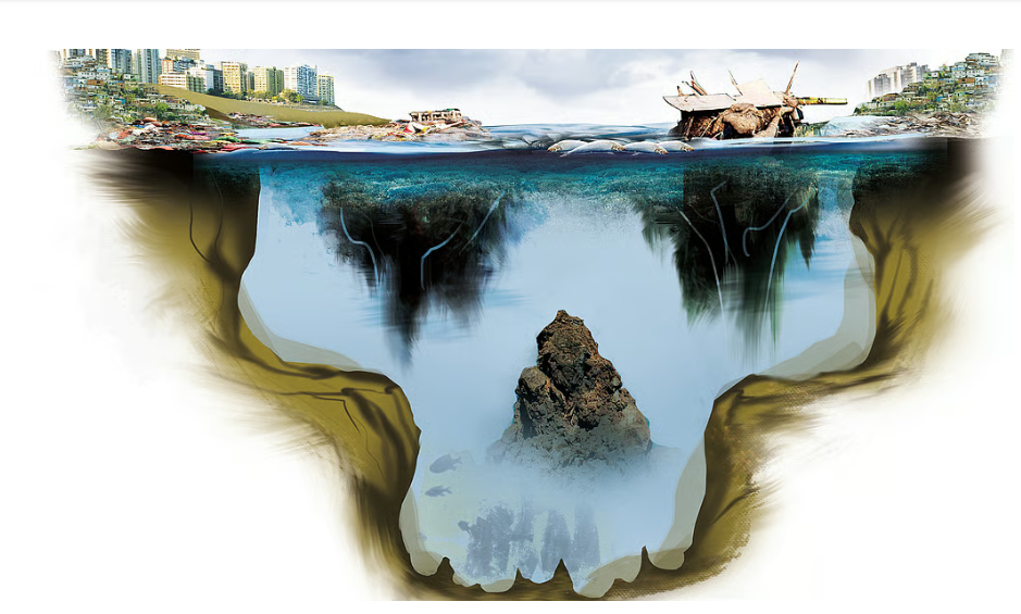

The Central Pollution Control Board’s report Polluted River Stretches for Restoration of Water Quality 2025 records 32 polluted river stretches and monitoring locations in Kerala. That is the second highest count in the country, behind only Maharashtra. The assessment rests on water quality data collected during 2022 and 2023.
The measure used is Biochemical Oxygen Demand. BOD is the quantity of dissolved oxygen that microorganisms need in order to break down the organic matter present in the water. The higher the BOD, the greater the organic load and the poorer the water. It is a blunt instrument but an honest one. It tells you how much rot the water is being asked to digest.
Two facts in the report have to be held together, and we should resist the temptation to publish only the alarming one. Kerala has no river in either of the two most severe pollution categories, unlike the heavily industrialised states. And 26 of its 32 polluted stretches fall under Priority Class V, the lowest pollution category. Our crisis, as of 2022 and 2023, is one of extent rather than intensity. Thirty two stretches is a map of contamination spreading across a state. It is not yet a map of dead rivers.
That is exactly why it matters now. Class V is where a river arrives before it goes further down the list, and the direction of travel is set by policy.
Linto Alappat of the department of geology and environmental science at Christ College, Irinjalakuda, describes the pattern. The rivers are generally healthy in their upper reaches and deteriorate rapidly once they pass through urban centres. “Our rivers are not dying because they lack water; they are dying because they have become carriers of untreated sewage.”
He identifies the mechanism plainly. Rapid urbanisation has far outpaced Kerala’s sanitation infrastructure, and rivers continue to be treated as drainage channels rather than as living ecosystems. Waste from lakhs of septic tanks and household drains seeps into streams every day, untreated. Sand mining and the filling of paddy fields have made it worse, leaving the rivers too shallow to flush themselves clean for much of the year.
Read that list again, because every item on it is a decision and not a misfortune.
Urbanisation outpacing sanitation is what happens when a state grants building permissions at a rate its treatment capacity was never designed to match. Permissions generate revenue, land value and contracts. Sewage treatment plants generate only expenditure and, worse, the obligation to maintain them for decades. Where the two compete for the same signature we know which one gets it. This is not a failure of planning. It is planning working exactly as the interests behind it intended.
Sand mining and the filling of paddy fields tell the same story more bluntly. Both are the route by which a river valley is converted into real estate. Both have been fought by local people across Kerala for decades, and both have survived every wave of protest because the quarry and construction lobbies sit closer to the machinery of government than the people living on the banks do. Regulation exists. Enforcement is what gets negotiated away.
So the CPCB’s 32 stretches should be read as an audit of a development model that treats land as an asset to be liquidated and water as the medium for carrying away whatever that liquidation leaves behind. The lakhs of septic tanks are the visible end of it. The ruling forces that licensed the quarries, cleared the paddy fields and postponed the treatment plants are the other end.
What follows is not complicated, and none of it is new. Sewage treatment capacity has to be built ahead of construction approval and not behind it, and building permissions in urban local bodies have to be tied to it. The Kerala Conservation of Paddy Land and Wetland Act has to be enforced against those who convert land instead of being adjusted around them. Sand mining clearances need published river bed data that residents can see and challenge. And the CPCB’s stretch wise data must be made available locally, panchayat by panchayat, so that people can hold a particular stretch and a particular set of officials to account rather than being handed one state level number once a year.
Kerala still has the advantage of distance from the two worst categories. That is an inheritance from geography and from decades of popular struggle over land and water. It is not a certificate earned by the present dispensation, and it can be spent very quickly.
FEPAD invites researchers, activists and residents living along these stretches to document what they are seeing, whether it is outfalls, mining sites or converted paddy land, and to send it to us. A state level report tells us the size of the problem. Only local evidence names those who are responsible for it.